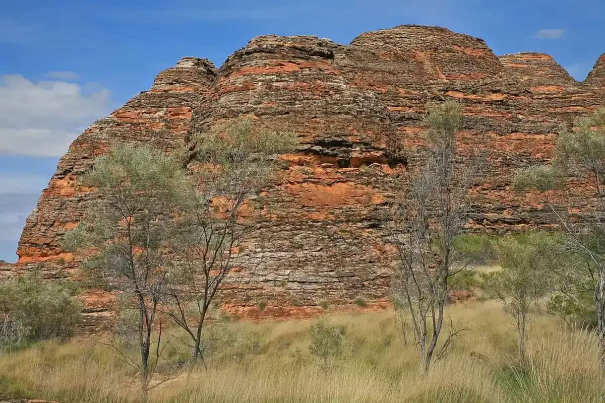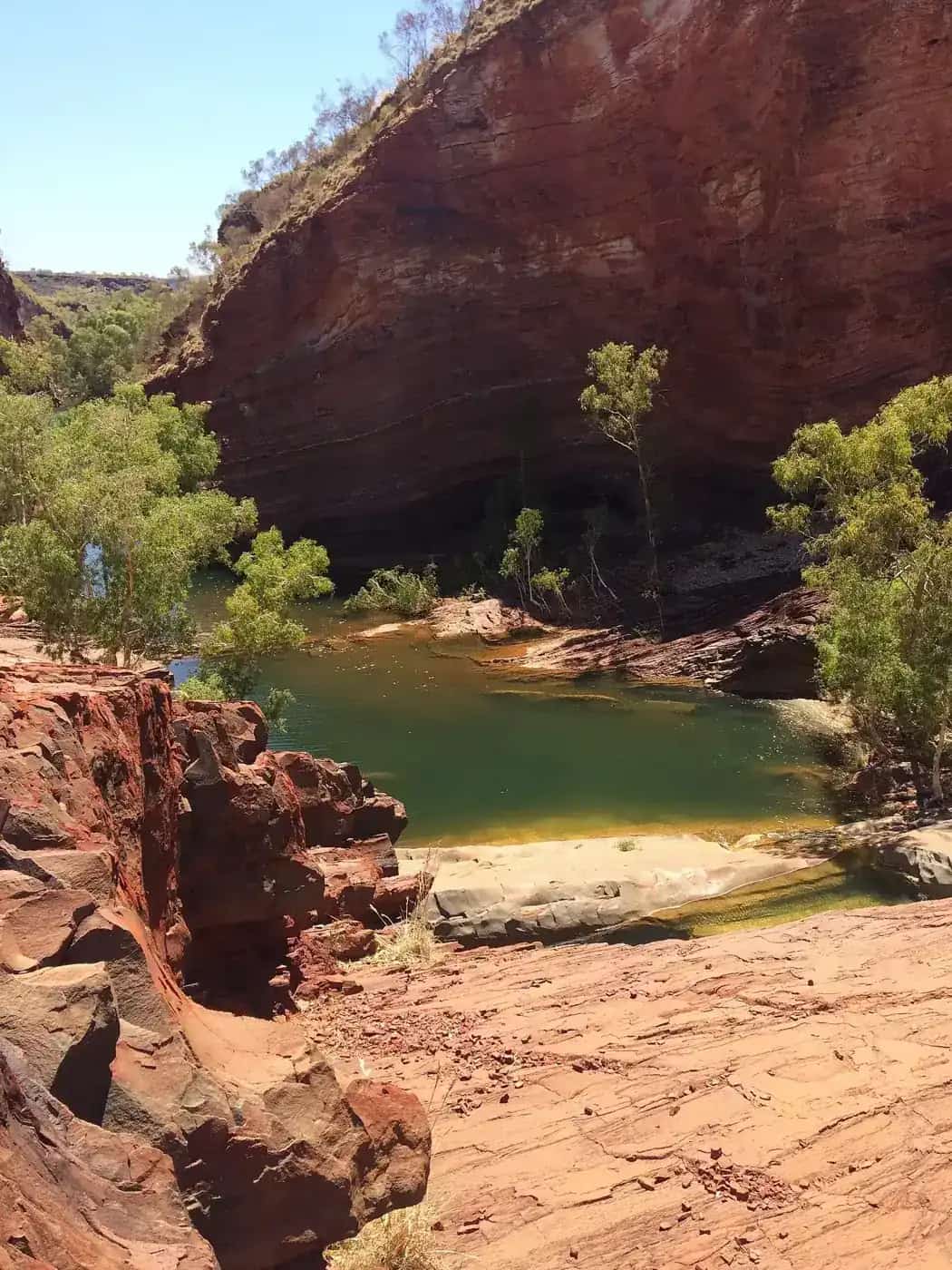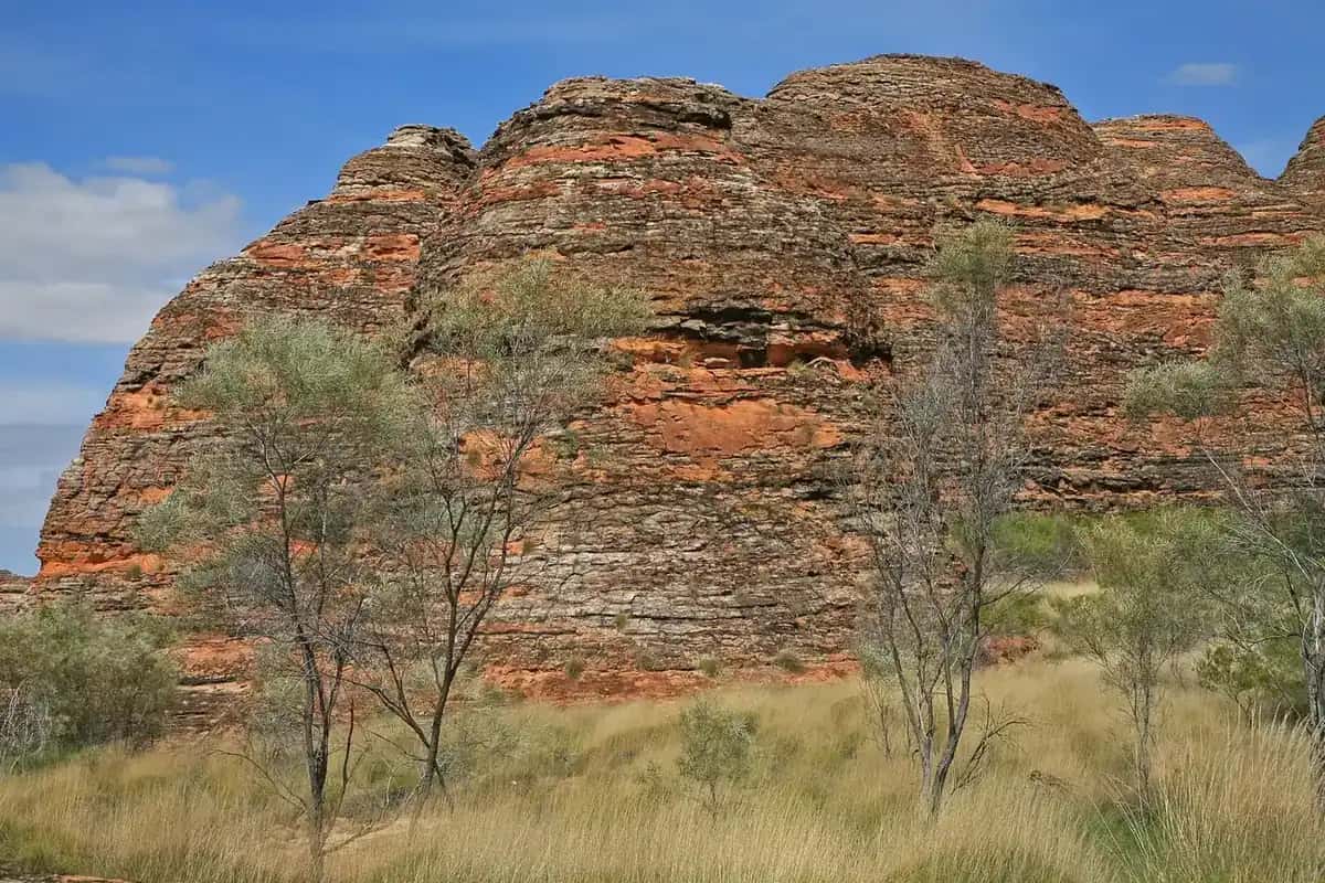
In this directory, "north-west" follows the original Outback Now region: the Kimberley coast and savanna plus the Pilbara ranges and iron-ore towns. Distances are continental. Perth to Broome is about 2,200 km by the most direct inland route; Karijini is about 1,400 km north of Perth. The climate splits just as sharply. The Kimberley has a tropical wet and dry; the Pilbara is arid, extremely hot in summer, with cyclone risk on the coast. Main Roads WA's travel map and Parks and Wildlife Service WA are the official sources. Landscape context sits in our Kimberley and Pilbara guides.
Kimberley towns
Broome is the western gateway, where red pindan meets the Indian Ocean. Cable Beach sunsets, pearling history, Chinatown, Sun Pictures, Gantheaume Point dinosaur footprints and the Staircase to the Moon (a low-tide full-moon effect on Roebuck Bay, dates from the visitor centre, roughly March to October) are the usual list. The dry season from about May to October is the main visiting window. The Shire of Broome notes that saltwater crocodiles are occasionally seen at Town Beach; swim between the flags at patrolled Cable Beach and follow closures after sightings or stinger stings. Stinger season runs from November to May.
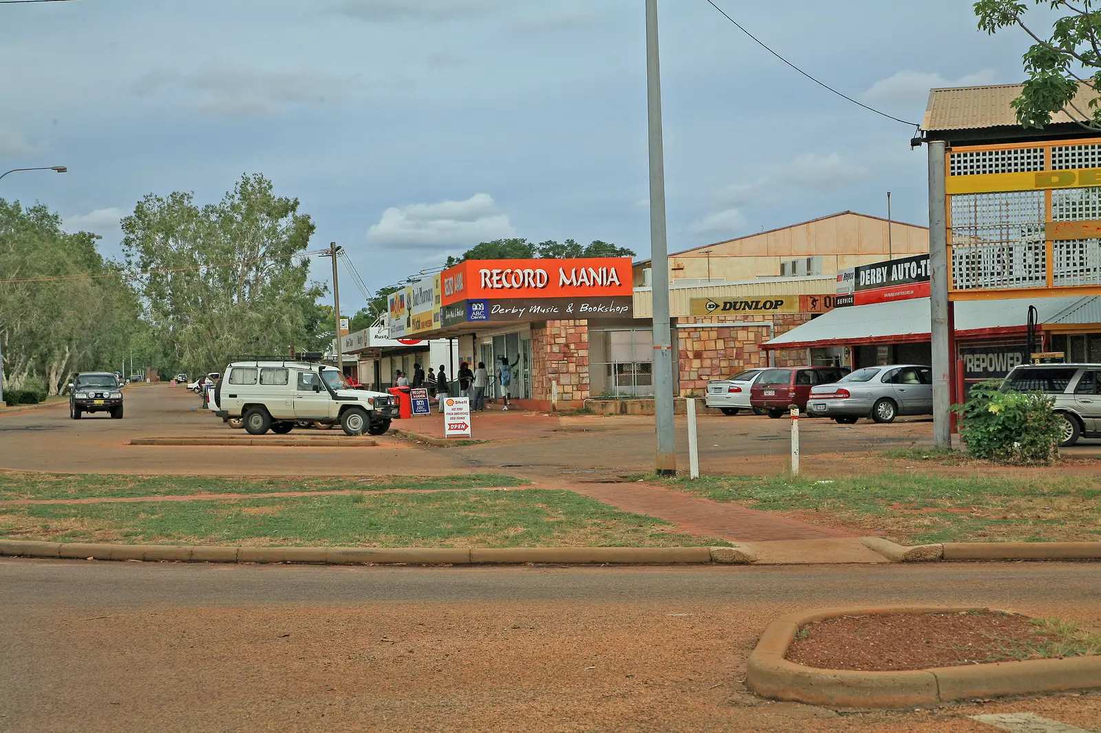
Derby on King Sound is known for very large tides and is the western end of the Gibb River Road.
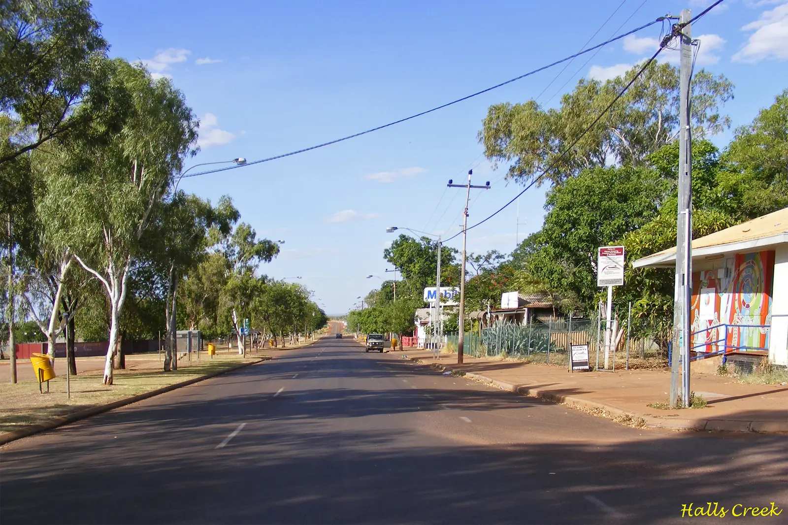
Halls Creek is the inland Kimberley service town on the Great Northern Highway, a gateway to Wolfe Creek Crater, the Tanami Road and the southern approach to Purnululu National Park.
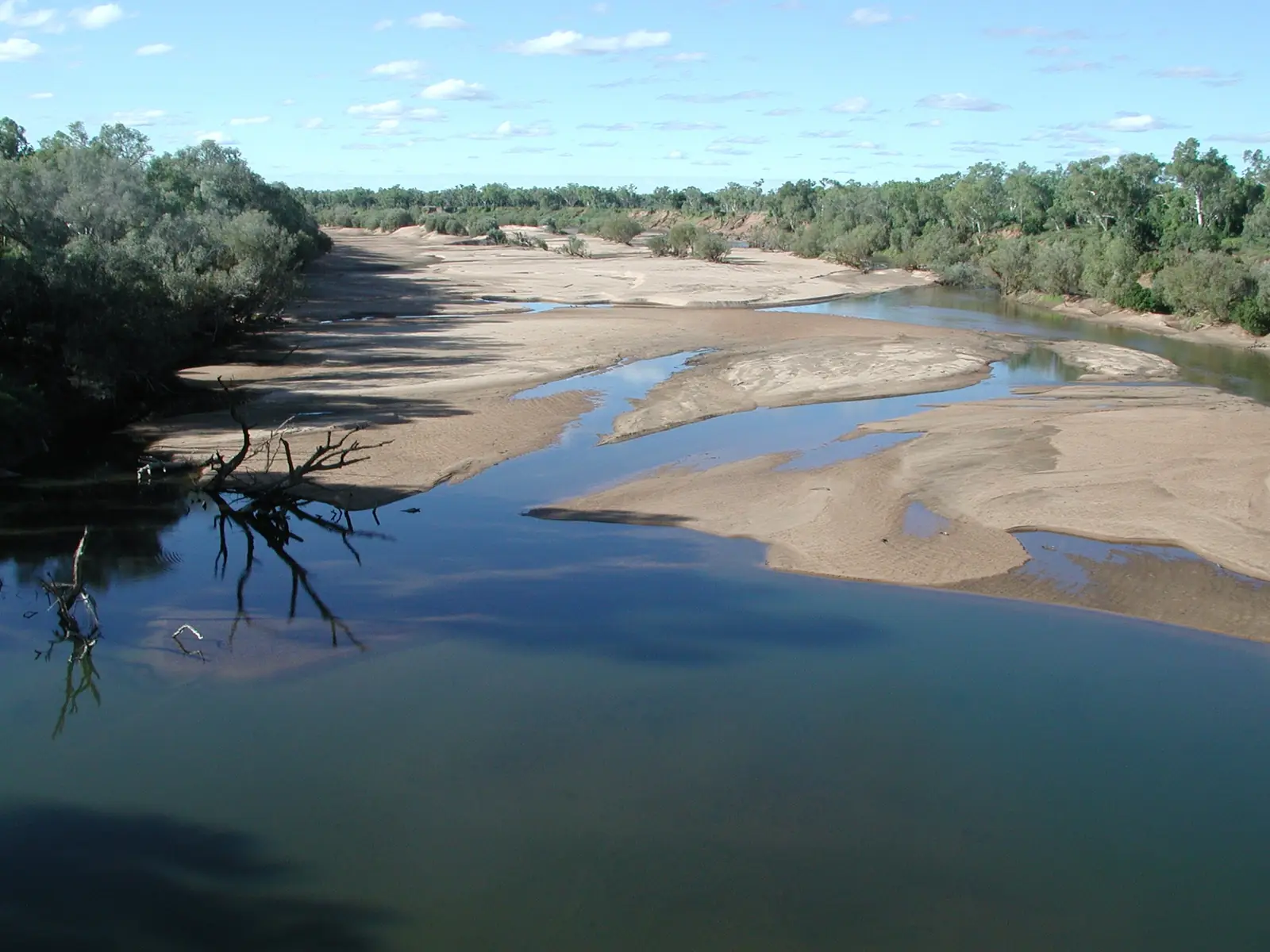
Fitzroy Crossing sits on the Fitzroy River between Broome and Halls Creek, with access to Dan͟ggu (Geikie Gorge) on Parks WA pages. Check Main Roads WA after wet-season flooding.
Kununurra is the east Kimberley hub on the Ord River: Lake Argyle cruises, Mirima National Park, and scenic flights over the Bungle Bungle Range. It is the usual base for Purnululu from the east.
Wyndham is the Kimberley's oldest town and Western Australia's northernmost port, overlooking Cambridge Gulf at the Five Rivers Lookout. Parry Lagoons, the Big Croc and the Prison Boab Tree are the other named stops. Crocodile safety applies to all Gulf and river edges.
The Gibb River Road between Derby and Kununurra is a dry-season 4WD route with gorges and station stays; it typically closes in the wet. See the Gibb River Road itinerary and crocodile safety.
Pilbara towns
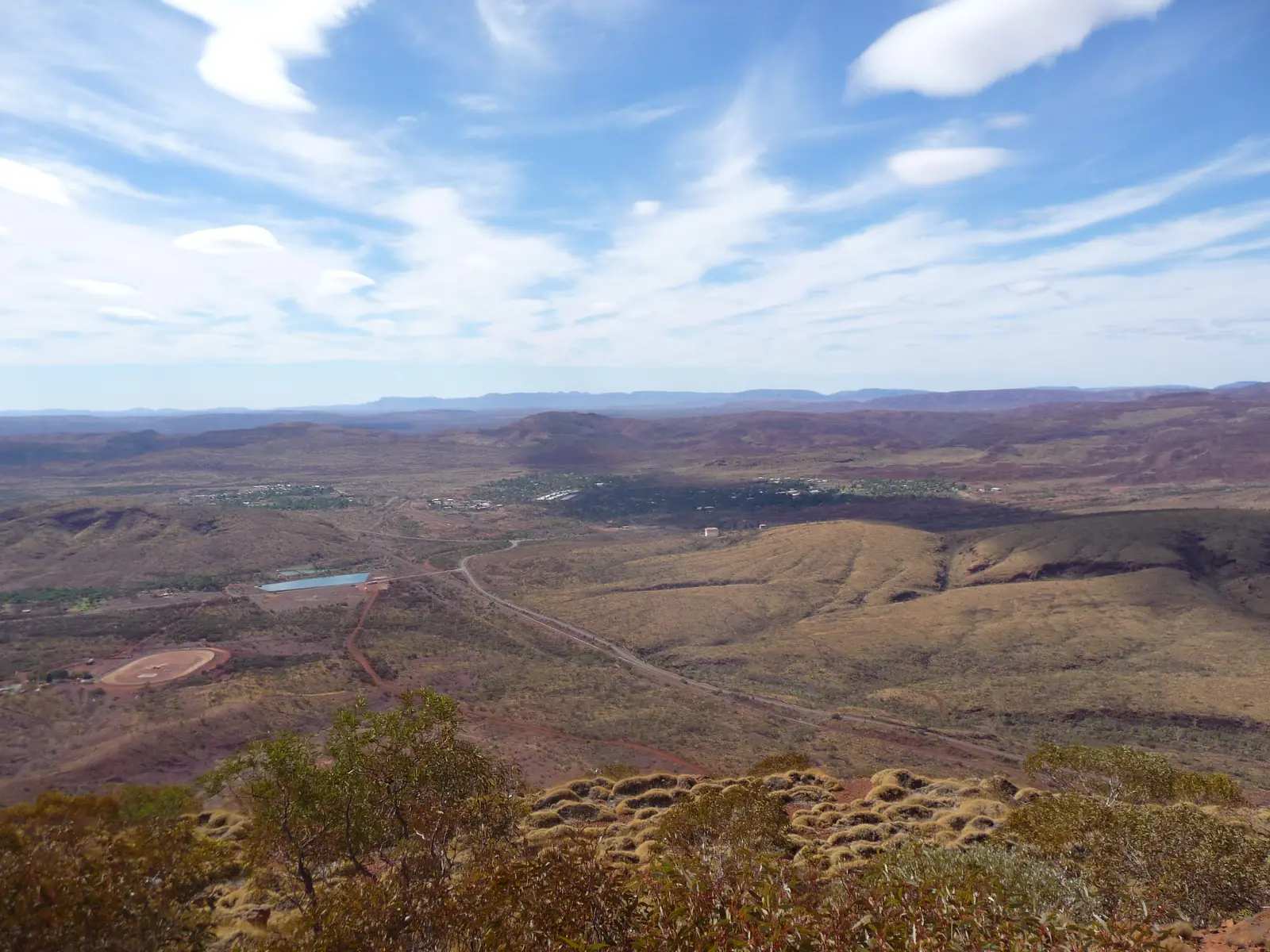
Tom Price is a planned iron-ore town in the Hamersley Range and the most convenient base for Karijini National Park. Mount Nameless (Jarndunmunha) lookout overlooks town. Mine tours operate when the companies offer them — confirm locally.
Paraburdoo is the Shire of Ashburton iron-ore town south of Tom Price (Western Australia, not a Queensland locality).
Onslow is the Pilbara coast town in the Shire of Ashburton — not Exmouth / Ningaloo. Exmouth has its own town page.
Pannawonica is the Shire of Ashburton iron-ore town (Western Australia, not Queensland).
Roebourne is the Pilbara town in the City of Karratha — not Karratha, Port Hedland or Dampier. Those Wave 10 neighbours have town pages on this site: Karratha, Port Hedland and Dampier.
Karratha is the City of Karratha seat on Nickol Bay — not Dampier, Wickham, Roebourne or Port Hedland.
Port Hedland is the Town of Port Hedland city covering Port and South Hedland — not Karratha, Marble Bar or Broome.
Dampier is the City of Karratha port town on the Burrup / Murujuga, 20 km west of Karratha on Australia’s North West — not Karratha CBD.
Wickham is the City of Karratha town on the Roebourne–Point Samson Road — not Point Samson.
Point Samson is the City of Karratha fishing hamlet — not Wickham, not Cossack.
Cossack is the historic townsite north of Roebourne — not Roebourne, not Point Samson.
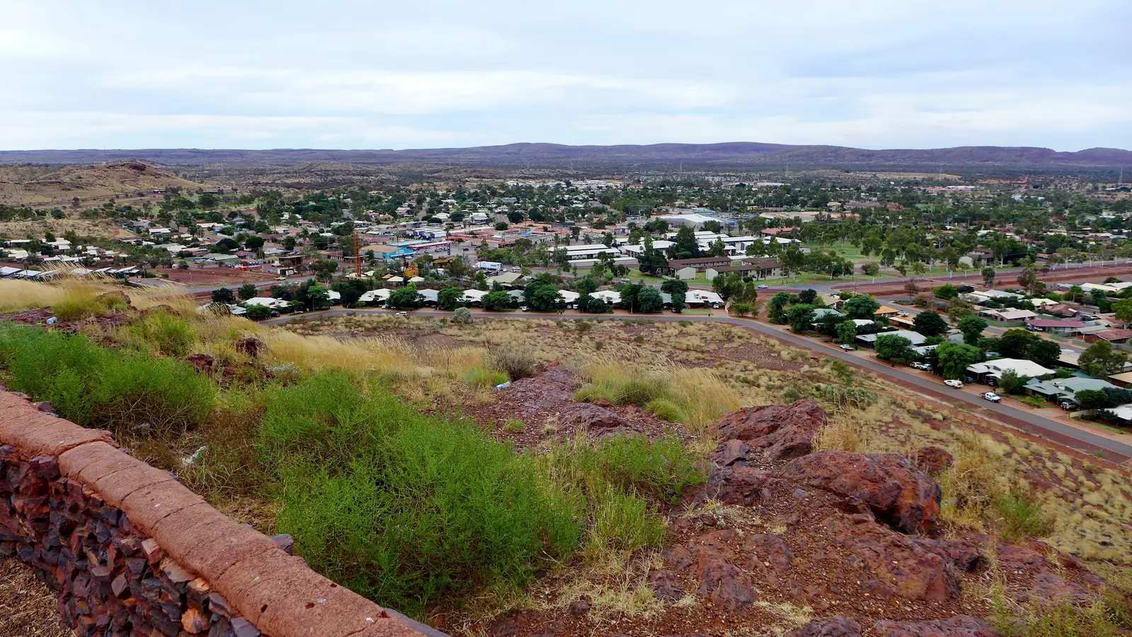
Newman is about 1,180 km north of Perth on the Great Northern Highway, built in the late 1960s for the Mount Whaleback iron-ore mine. Radio Hill lookout and Ophthalmia Dam are the in-town stops; Karijini is a longer day to the west.
Marble Bar is famous as one of Australia's hottest towns, and for a bar of red jasper on the Coongan River that prospectors mistook for marble. Chinaman's Pool, the Ironclad Hotel and the Comet Gold Mine are the usual visits. Go in the cooler months.
Nullagine is the East Pilbara gold town on the Marble Bar–Newman inland road, a smaller neighbour to Marble Bar rather than a coastal Pilbara city.
Warmun (Turkey Creek) is the Gija community on the Great Northern Highway in the Shire of Halls Creek — official WA and community wording only; the closest settlement Tourism WA names to Purnululu.
Gascoyne Junction is the Gascoyne River / Kennedy Range town in the Shire of Upper Gascoyne, not a coastal Carnarvon suburb.
Gascoyne coast towns
- Exmouth is the Shire of Exmouth town on North West Cape — Ningaloo and Cape Range. Those parks have no pages on this site; use Parks WA.
- Carnarvon is the Shire of Carnarvon town at the Gascoyne River mouth, Yinggarda Country — not Carnarvon Gorge in Queensland. Gateway to Kennedy Range and Mount Augustus.
- Denham is the Shire of Shark Bay World Heritage town on the Peron Peninsula. Monkey Mia is covered on the Denham pages; it has no separate town URL. Shark Bay park pages are not on this site — use Parks WA.
- Coral Bay is the Baiyungu Ningaloo village in the Shire of Carnarvon — not Exmouth town, not Carnarvon town.
Karijini's gorges (Dales, Hancock, Weano, Kalamina, Hamersley) mix easy walks with scrambles, wading and ledges. Some trails are closed in extreme heat or after rain. Millstream-Chichester is the other major Pilbara park on this side of the region.
Getting around
The Great Northern Highway is sealed from Perth through Newman to Halls Creek, Kununurra and Wyndham, but it carries large road trains and fuel gaps can exceed 250 km. The sealed coastal and inland routes to Broome and Tom Price are similarly long. Flood closures are common in the Kimberley wet season and after cyclones on the Pilbara coast. Check Main Roads WA every day you drive. Western Australia has strict quarantine at the border; declare fresh produce, plants and honey.
Flights to Broome, Kununurra, Newman and other Pilbara ports cut the driving. Many travellers still underestimate how long a single region takes: Australia's North West and Tourism WA both treat the Kimberley or the Pilbara as a trip of weeks, not a long weekend.
When to go
Kimberley: dry season roughly May to October — warm days, most tours and the Gibb open. Early dry can mean fuller waterfalls and lingering closures; late dry is hotter, with lower falls. Pilbara: about April or May to September. Bureau of Meteorology averages for Newman show mean maximums around 23°C in June and July and above 39°C in December and January. Summer also brings cyclone risk near the coast.
Suggested approach
Do not try to "do the north-west" in one dash. A Kimberley trip is Broome or Kununurra plus gorges, Purnululu and, if you have a week, the Gibb. A Pilbara trip is Tom Price or Newman plus Karijini. Linking them on the Great Northern Highway is a long extra drive through empty country. Visitor centres in Broome, Derby, Kununurra, Tom Price and Newman are the desks for park bookings (Park Stay WA), road rumours worth checking against the official map, and whether mine lookouts are open.
See Perth to Darwin, outback Western Australia and the Kimberley road trip.
Towns in this region
Outback Western Australia
Tom Price
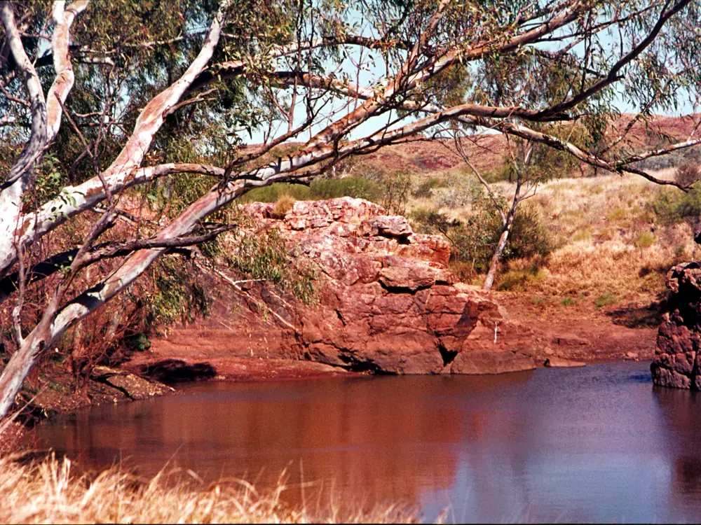
Tom Price, WA: the Pilbara's highest town, Mount Nameless (Jarndunmunha) lookout, mine tours and the best base for Karijini National Park's gorges.
Read · 5 min
Outback Western Australia
Marble Bar
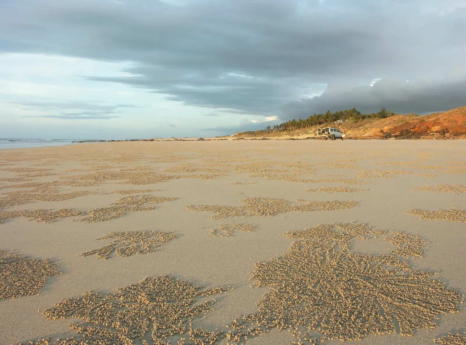
Marble Bar, WA: the record heatwave, the jasper bar on the Coongan River, Chinaman's Pool, the Ironclad Hotel and Comet Gold Mine, plus visiting tips.
Read · 5 min
Outback Western Australia
Broome
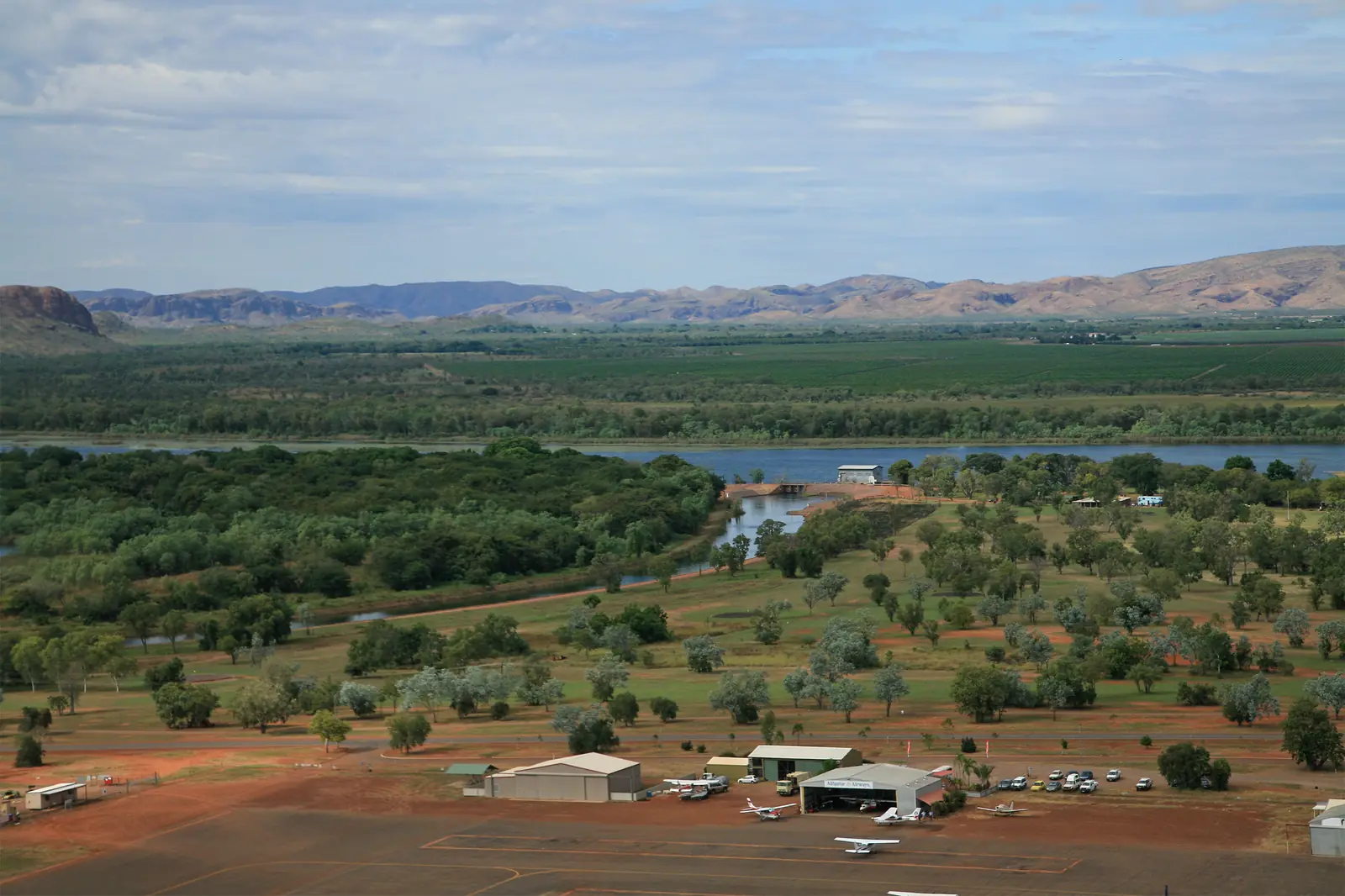
Broome, WA: Cable Beach sunset camel rides, Staircase to the Moon, pearling history, Gantheaume Point dinosaur footprints and Sun Pictures.
Read · 6 min
Outback Western Australia
Kununurra
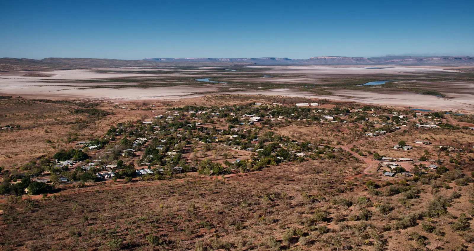
Kununurra, WA: Lake Argyle cruises, Ord River, Mirima National Park, scenic flights over the Bungle Bungles and Kimberley travel tips in the dry season.
Read · 6 min
Western Australia · Kimberley
Wyndham
Wyndham travel guide: the Kimberley's oldest port town, the Five Rivers Lookout, Parry Lagoons, the Big Croc, the Prison Boab Tree, history and safety.
Read · 5 min
Western Australia · Kimberley
Halls Creek
Halls Creek travel guide: site of WA's first gold rush, the China Wall, Old Halls Creek ruins, Wolfe Creek Crater and travel tips in the Kimberley.
Read · 5 min
Western Australia · Kimberley
Derby
Derby travel guide: the King Sound town with huge tides, the Boab Prison Tree, the jetty, Horizontal Falls flights and the start of the Gibb River Road.
Read · 5 min
Western Australia · Pilbara
Newman
Newman travel guide: the Pilbara iron ore town at Mount Whaleback, Radio Hill lookout, Ophthalmia Dam and travel tips on the Great Northern Highway.
Read · 5 min
Western Australia · North West
Fitzroy Crossing
Fitzroy Crossing travel guide: Kimberley town on the Fitzroy River, Dan͟ggu (Geikie Gorge) as Parks WA names it, Main Roads flood and bridge facts, and BOM Fitzroy Crossing Aero climate.
Read · 8 min
Western Australia · North West
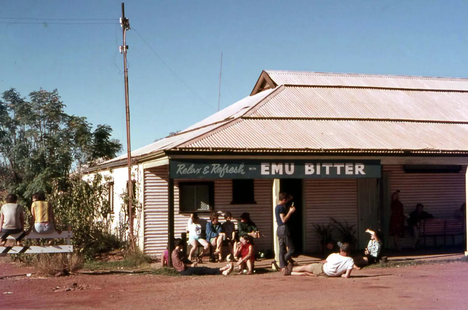
Nullagine
Nullagine travel guide: Shire of East Pilbara town 191 km north of Newman — Nullagine River, Lynas Lookout, caravan park, The Nully hotel and BOM Nullagine climate. This is the East Pilbara, not a Kimberley suburb.
Read · 8 min
Western Australia · North West
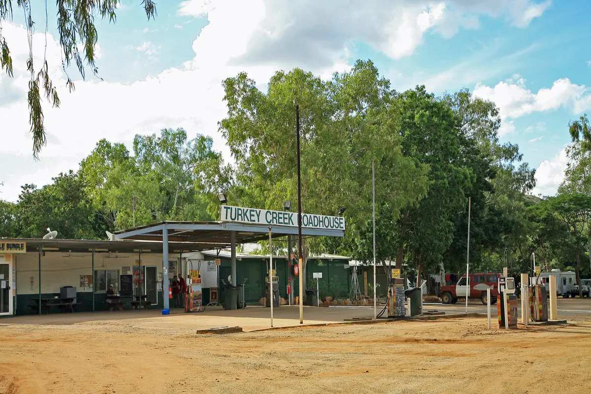
Warmun
Warmun travel guide: Gija community also known as Turkey Creek, Shire of Halls Creek — Warmun Art Centre, Turkey Creek Roadhouse, closest settlement to Purnululu. Official WA and community wording only.
Read · 8 min
Western Australia · North West
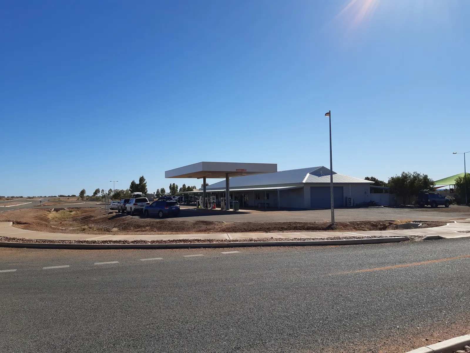
Gascoyne Junction
Gascoyne Junction travel guide: Shire of Upper Gascoyne town at the Gascoyne and Lyons rivers, two hours east of Carnarvon — Kennedy Range, museum, Junction Pub & Tourist Park. Inland Gascoyne, not a Carnarvon suburb page.
Read · 11 min
Western Australia · North West
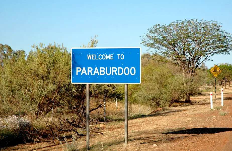
Paraburdoo
Paraburdoo travel guide: Shire of Ashburton iron-ore town in the WA Pilbara, 80 km south of Tom Price. Red Dog statue, Resilience Sculpture, Paraburdoo Airport for Karijini. This is Western Australia, not a Queensland town.
Read · 9 min
Western Australia · North West
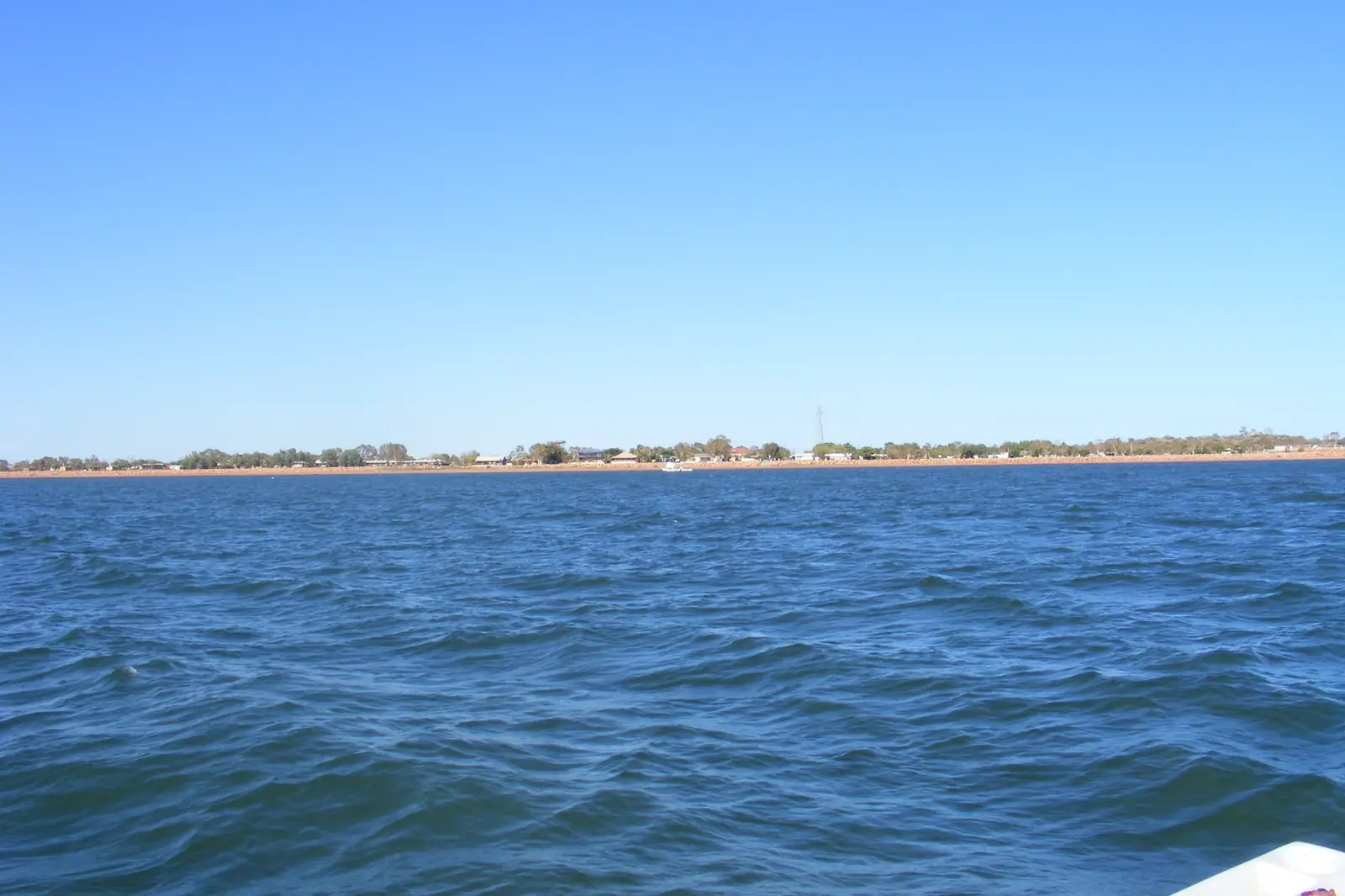
Onslow
Onslow travel guide: Shire of Ashburton Pilbara coast town on Beadon Creek, Old Onslow ruins, salt ponds, Goods Shed Museum. Not Exmouth / Ningaloo — Exmouth has its own town page.
Read · 9 min
Western Australia · North West
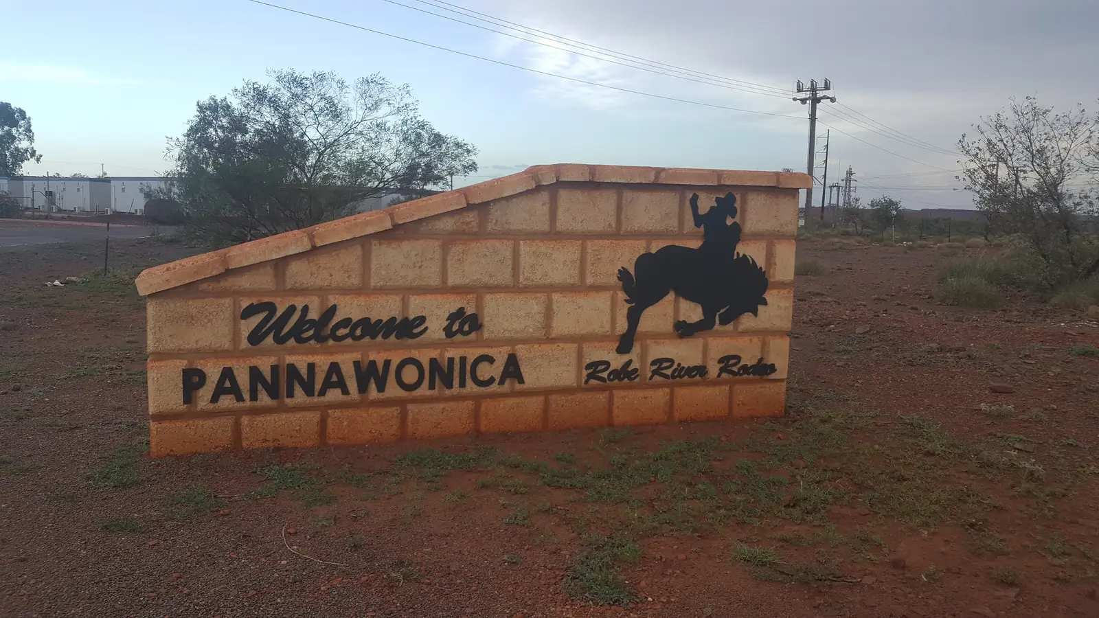
Pannawonica
Pannawonica travel guide: Shire of Ashburton closed mining town in the WA Pilbara, 47 km off the North West Coastal Highway — Robe River, Boot Tree, transit park. This is Western Australia, not Queensland.
Read · 9 min
Western Australia · North West
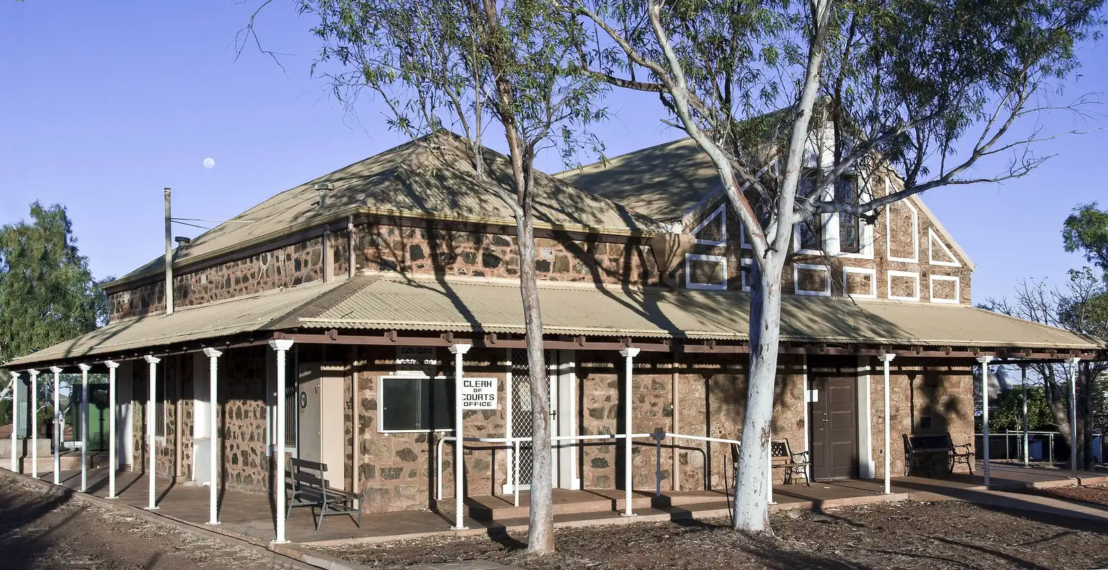
Roebourne
Roebourne travel guide: City of Karratha Pilbara town gazetted 1866 — Heritage Trail, Old Gaol Museum, Harding River. This is Roebourne, not Karratha, Port Hedland, Dampier or Wickham city pages.
Read · 9 min
Western Australia · North West
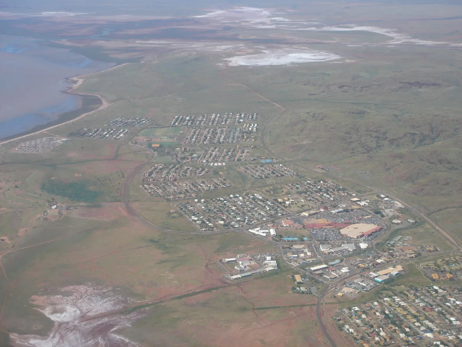
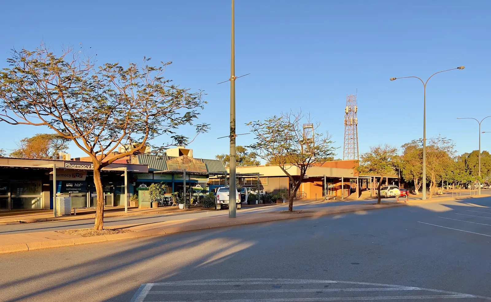
Karratha
Karratha travel guide: City of Karratha Pilbara city 1,535 km north of Perth on Australia’s North West — Yaburara Heritage Trail, Murujuga, Hearson’s Cove. Not Dampier, Wickham, Roebourne or Port Hedland.
Read · 9 min
Western Australia · North West
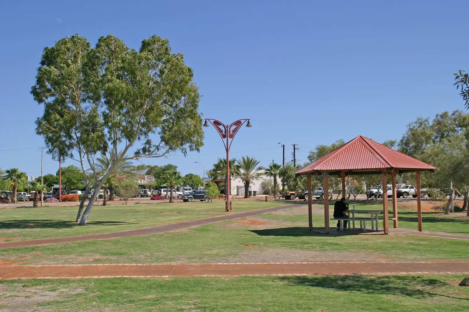
Port Hedland
Port Hedland travel guide: Town of Port Hedland city covering Port and South Hedland — harbour tours, Cemetery Beach turtles, Spoilbank Marina. Not Karratha, not Marble Bar, not Broome.
Read · 9 min
Western Australia · North West
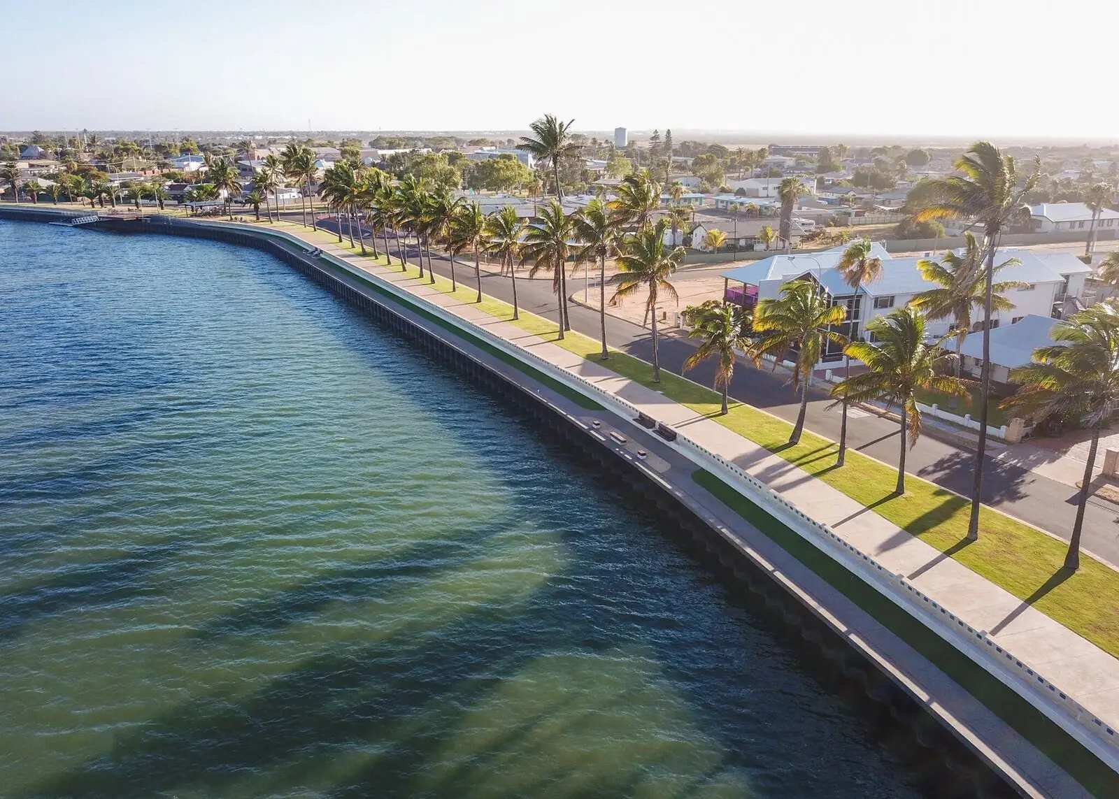
Exmouth
Exmouth travel guide: Shire of Exmouth town on the North West Cape — Ningaloo Marine Park, Cape Range National Park, Learmonth Airport. Not Onslow, not Coral Bay, not Carnarvon. Parks WA for the reef and range; those parks have no pages on this site.
Read · 10 min
Western Australia · North West
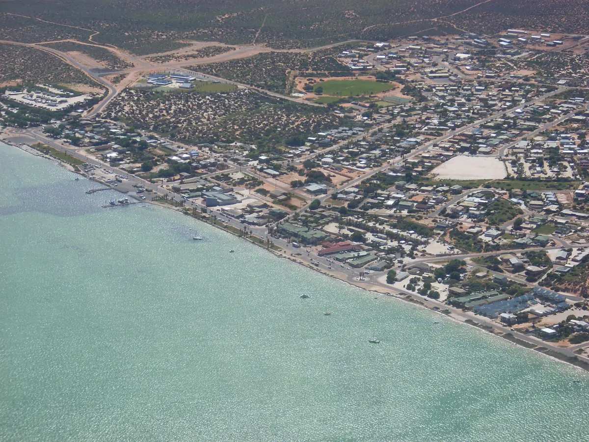
Carnarvon
Carnarvon travel guide: Shire of Carnarvon town at the Gascoyne River mouth, Yinggarda Country — One Mile Jetty, Space Museum, Fruit Loop, Kennedy Range and Mount Augustus. Not Carnarvon Gorge QLD.
Read · 12 min
Western Australia · North West
Denham
Denham travel guide: Shire of Shark Bay World Heritage town on Malgana Country — Monkey Mia dolphins, Hamelin Pool stromatolites, Shell Beach, François Peron. Monkey Mia is covered here; it has no separate town page.
Read · 8 min
Western Australia · North West
Dampier
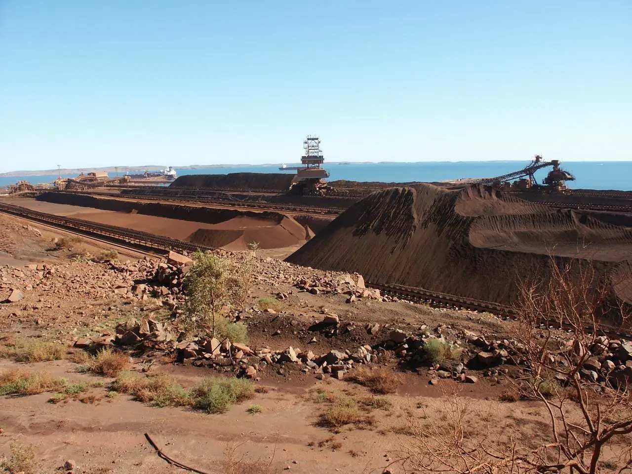
Dampier travel guide: City of Karratha port town 20 km west of Karratha — Red Dog Trail, Dampier Foreshore, Murujuga. Not Karratha CBD. Named after William Dampier, 1688, on Australia’s North West.
Read · 7 min
Western Australia · North West
Wickham
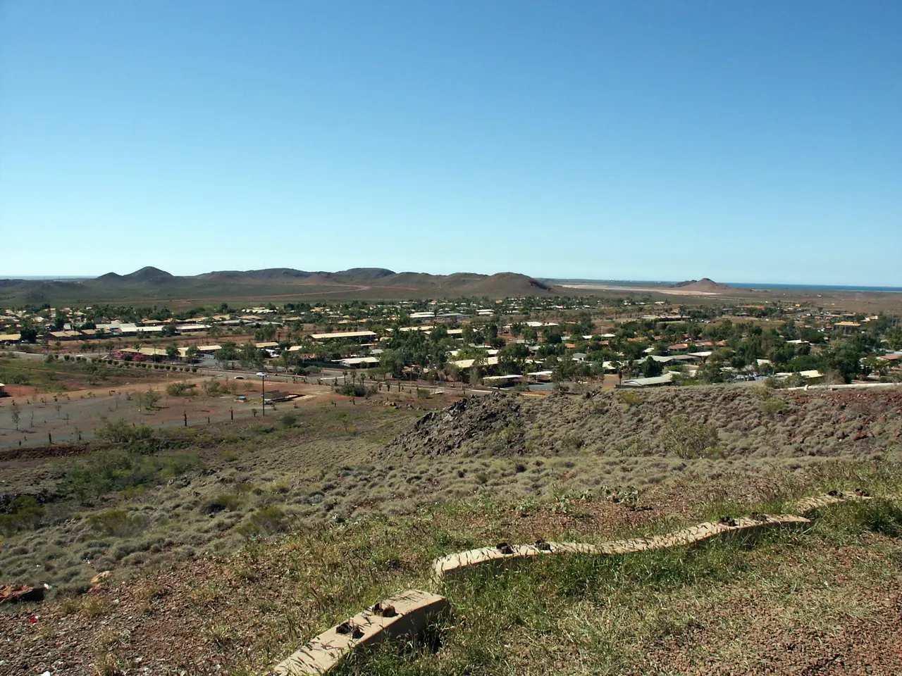
Wickham travel guide: City of Karratha town on the Roebourne–Point Samson Road — Cape Lambert port neighbour, not Point Samson, not Karratha CBD, not Roebourne’s 1866 gaol town.
Read · 7 min
Western Australia · North West
Point Samson
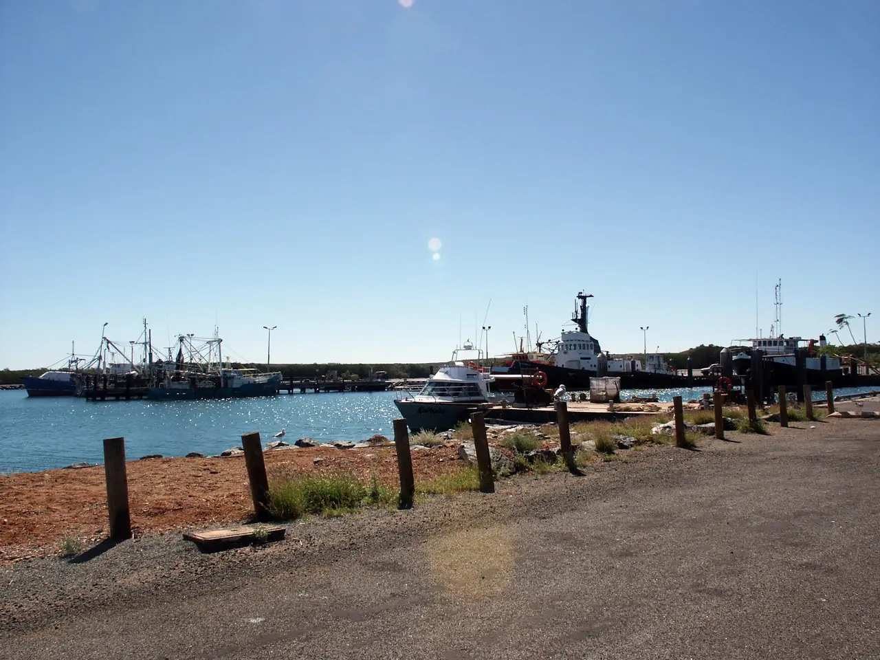
Point Samson travel guide: City of Karratha fishing hamlet 20 minutes north of Roebourne — Honeymoon Cove, John’s Creek, Dampier Archipelago gateway. Not Wickham, not Cossack.
Read · 6 min
Western Australia · North West
Coral Bay
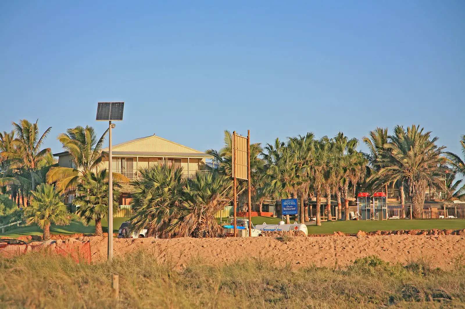
Coral Bay travel guide: Baiyungu Country Ningaloo village in the Shire of Carnarvon — not Exmouth town, not Carnarvon town. Manta rays, whale sharks, Parks WA Maud Sanctuary Zone. Learmonth climate with an explicit not-in-village note.
Read · 6 min
Western Australia · North West
Cossack
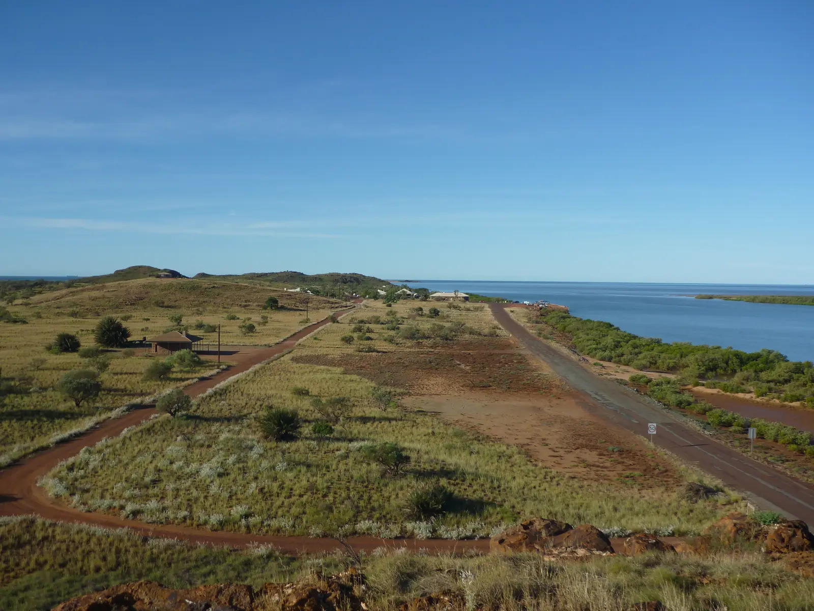
Cossack travel guide: historic Ngarluma townsite east of Roebourne — bluestone Heritage Trail, Settlers Beach, Police Barracks from early March to late December on Tourism WA. Not Roebourne, not Point Samson.
Read · 7 min
Frequently asked questions
Which towns are in WA's north-west hub?
This hub covers Broome, Derby, Halls Creek, Kununurra, Wyndham, Tom Price, Newman, Marble Bar, [Karratha](/outback-towns/western-australia/karratha), [Port Hedland](/outback-towns/western-australia/port-hedland), [Exmouth](/outback-towns/western-australia/exmouth), [Carnarvon](/outback-towns/western-australia/carnarvon), Denham, Dampier, Wickham, Point Samson, Cossack and Coral Bay — Kimberley, Pilbara and Gascoyne towns on this north-west list.
When should I visit the Kimberley?
In the dry season, roughly May to October. The Gibb River Road and many park areas close or become impassable in the wet. Broome, Kununurra and the sealed Great Northern Highway generally stay accessible, but flooding can still close sealed roads.
How far is the Pilbara from Perth?
Australia's North West puts Karijini National Park about 1,400 km north of Perth, roughly 15 hours' drive inland. Newman is about 1,180 km north of Perth on the Great Northern Highway. Many visitors fly to Broome, Kununurra, Newman, Paraburdoo, [Karratha](/outback-towns/western-australia/karratha) or [Port Hedland](/outback-towns/western-australia/port-hedland).
Do I need a 4WD?
Not for Broome, Kununurra, Derby, Newman, Tom Price, [Karratha](/outback-towns/western-australia/karratha), [Port Hedland](/outback-towns/western-australia/port-hedland), [Exmouth](/outback-towns/western-australia/exmouth) or [Carnarvon](/outback-towns/western-australia/carnarvon) on sealed highways. The Gibb River Road, Purnululu access and many gorge tracks are 4WD. Check the Main Roads WA travel map before every remote leg.
Sources and further reading
Facts on this page were checked against these primary and official sources. Conditions change — confirm before you travel or buy.
- Main Roads WA travel map — Main Roads Western Australia
- Explore Parks WA — Parks and Wildlife Service WA
- Kimberley region — Australia's North West
- Kimberley & Pilbara seasons — Australia's North West
- Karijini National Park — Australia's North West
- Tourism Western Australia — Tourism Western Australia